Sytiberg Circular Hike


- 1:35 h
- 5.50 km
- 146 m
- 146 m
- 566 m
- 712 m
- 146 m
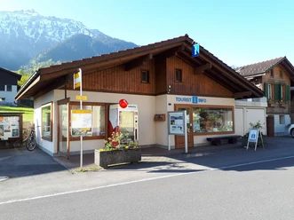
- Start: Bönigen See, Tourism Office Bönigen
- Destination: Bönigen See, Tourism Office Bönigen
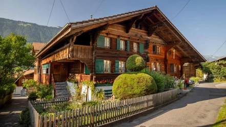
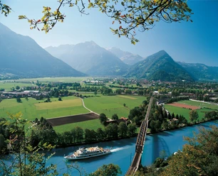
This hike takes you from the tourism office first through the Oberdorf of Bönigen to Oberallmi, where a beautiful barbecue area with a magnificent view is located on the left. The circular route continues to the right, over a scenic ascent to the Sytiberg. Then follow the path towards Wilderswil. Passing the fire pit, you go down to the Aenderbergbrügg. Cross this impressive covered wooden bridge and walk back along the Lütschine to Bönigen.

Good to know
Best to visit
Directions
Bönigen See – Oberallmi – Sytiberg – Aenderbergbrügg – Bönigen See
Directions & Parking facilities
From Bern/Thun: Leave the A8 motorway at the Interlaken Ost / Bönigen exit and then follow the signs toward Bönigen.
From Brienz: Leave the A8 motorway at the Bönigen exit, then follow Oberlandstrasse.
Take the train to Interlaken Ost, then bus 103 to Bönigen See. The bus runs every half hour.
Additional information
Seestrasse 6
3806 Bönigen
Tel.: +41 33 822 29 58
mail@boenigen-iseltwald.ch
www.boenigen-iseltwald.ch
Interlaken Tourism
Marktgasse 1
3800 Interlaken
License (master data)

Author´s Tip / Recommendation of the author
- Pack a picnic as well as something for grilling and enjoy it at the Oberallmi barbecue area
- This hike is accessible with an offroad stroller
Nearby


")
Download GPX file