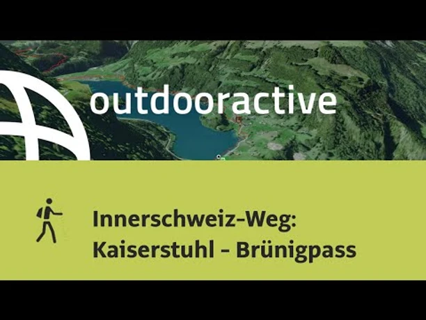
Innerschweiz route: Kaiserstuhl - Brünigpass


- 2:57 h
- 9.56 km
- 379 m
- 69 m
- 693 m
- 1,008 m
- 315 m
- Start: Kaiserstuhl
- Destination: Brünig-Hasliberg
Today's stage will take us over a distance of 9.4 km with a walking time of around 3.0 hours from Kaiserstuhl to Brünig. It is a light day stage. We start the hike westward at the Landgasthof Kaiserstuhl and follow the signposted paths along the shore of Lake Lungern. The path today leads us over asphalt and natural trails. After about 5.0 km, we arrive in Obsee. The path continues around Lungern and then begins to ascend at the Brünigpass. We reach Brünig at 1,008 m altitude, which is also the highest point of the day stage.
Today we pass the following sights: Bürglen Chapel, St. Beatus Chapel, Roman Staircase
It is possible to walk along the Brünigstrasse on the eastern shore of Lake Lungern, then return to the official Jakobsweg near Lungern.

Good to know
Pavements
Best to visit
Directions
Additional information
License (master data)
Nearby


