Forest, alpine and water richness in the Schallenberg area

- 4:45 h
- 14.47 km
- 716 m
- 503 m
- 823 m
- 1,409 m
- 586 m
- Start: Röthenbach i.E.
- Destination: Innereriz
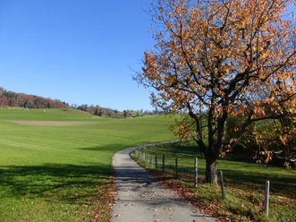
Röthenbach i.E. is the center of the fifth largest Emmental municipality. Half of the 37 km² municipal area is forest. From the bus station first through the narrow valley floor to the Rötebach and cross it towards the forest. The little road climbs steeply to the farms on a high terrace at Nägelisbode. But the incline is only mastered at Natersalp. Here you are at one of the most beautiful viewpoints of the Emmental: The view into the Thun lake area, to the Prealpine peaks, to the firn fields of the Kandertal mountains as well as to Schibengütsch and Hohgant is incomparable. The walk over the long hill ridge to Hinter Naters is also delightful.
Passing the huts of Gabelspitz, you reach with gentle ups and downs the Schallenberg pass height. Passing the protected Gabelspitzstein you climb to the huts of Schinegg. Over the ridge height it goes to the lime-crowned peak of Turner. Wonderful view into the valley of Bumbach to Schibengütsch and Hohgant and to the gaplessly forested northern slope of Honegg, which now also has to be crossed. At its crest (point 1390) you not only overlook the innermost Eriz with the pass crossings to Habkern and to Merligen, but also the next route targets Unter Scheidzun, Rotmoos and Innereriz are visible deep down.

Good to know
Pavements
Best to visit
Directions
Equipment
Additional information
Literature
License (master data)
Safety guidelines
Map
Nearby