Rohrimoosbad - When bathing and drinking still took place here

- 3:00 h
- 11.77 km
- 163 m
- 170 m
- 883 m
- 1,008 m
- 125 m
- Start: Schwarzenegg, village
- Destination: Süderen, Oberei

Berner Wanderwege
Good to know
Pavements
Asphalt (37%)
Street (12%)
Trail (41%)
Path (10%)
Best to visit
suitable
Depends on weather
Directions
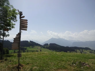
Schwarzenegg - Rohrimoos - Bätterich - Wachseldorn - Süderen
Equipment
We recommend the following equipment: light trekking shoes, light backpack, sun protection, rain jacket, pocket pharmacy, light picnic, sufficient fluids, mobile phone.
Directions & Parking facilities
Outbound: By train to Thun then by STI bus to Schwarzenegg, village
Return: By STI bus from Süderen, Oberei to Thun
Additional information
Bern Hiking Association, Bern, Tel.: 031 340 01 01, E-mail: info@beww.ch, homepage: www.bernerwanderwege.ch
License (master data)
Safety guidelines
This route runs exclusively on marked trails of the hiking path category
Map
Swisstopo hiking map 244T Escholzmatt 1:50,000
Nearby