- 3:15 h
- 6.32 km
- 450 m
- 430 m
- 1,023 m
- 1,468 m
- 445 m
- Start: Eriz/Rüttegg
- Destination: Innereriz/Geissegg
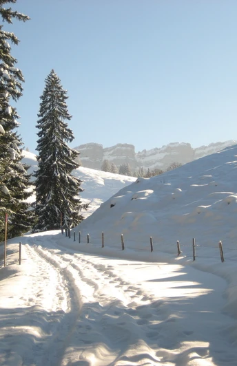
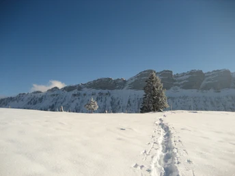
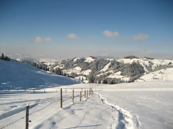
The trail starts near the bus stop in Rüttegg and leads past the Vorderer Zugschwand alp to the first hill. Wonderful views of the Eriztal valley and the Mittelland open up again and again. The trail continues briefly through a section of forest to Alp Vordere Schöriz. The trail then climbs steadily to the Stouffeli. The idyllic hut below the Stouffe is characterized by a wonderful panoramic view. The trail then leads uphill to the ridge. From here you can enjoy a magnificent view of the Sieben Hengste and the surrounding mountains. The subsequent descent takes you through open, untouched landscapes. Via point 1352, the trail leads to Alp Undere Schöriz and then along the summer hiking trail to Geissegg in Innereriz.
Good to know
Pavements
Best to visit
Directions
Equipment
Directions & Parking facilities
Take the train to Thun, continue by bus to Eriz / Linden, then 30 min walk to the starting point
Destination: Innereriz, Geissegg
Walk to the Eriz / Säge bus stop, take the bus to Thun, then continue by train
Additional information
Literature
License (master data)
Author´s Tip / Recommendation of the author
Difficulty: easy | Fitness: medium | 6.8 km | 3 h 15 min | 380 m ascent and descent
Safety guidelines
This route is signposted as a snowshoe trail, but is not specially prepared.
Avalanches
Increased avalanche risk in spring and in the event of sudden weather changes. An avalanche transceiver (avalanche transceiver), probe and shovel are helpful, but not obligatory. Find out about the snow conditions and possible avalanche dangers before the tour.
Behavior
Don't take any unnecessary risks and respect your limits. Always stay on the marked routes. Avoid wildlife where possible and stay calm. Observe animals from a distance. Pack up your garbage and leave no unwanted traces.
Map
Nearby
