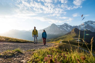
Aspen Trail - Grindelwald (signposted)


- 2:30 h
- 4.30 km
- 560 m
- 31 m
- 1,108 m
- 1,623 m
- 515 m
- Start: Grindelwald, Aspen
- Destination: Grindelwald, Holenstein
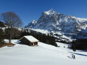
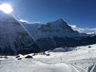
From Aspen, the trail starts over snowy meadows uphill towards Moosgaden. Parallel to the ski slope, you steadily ascend towards the edge of the forest. Via a snowy forest road, you reach the lower part of the Itramenwald. At point 1338 Vorsassi, the trail branches towards Holenstein and Brandegg. From point 1338 Vorsassi, the trail continues along the snowy forest road through the Itramenwald. After about 1.5 kilometers, you reach a forest clearing near Unterbrand. Off the forest road, you climb the snowy meadows with pleasant switchbacks. At the top at the forest edge, you meet the forest road again and follow this almost flat path into the Waldstafel area and then up to the Holenstein middle station.

Good to know
Pavements
Best to visit
Equipment
Directions & Parking facilities
Additional information
License (master data)
Safety guidelines
Map
Nearby
