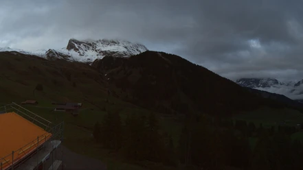
The solitary path from Schynige Platte


- 3:00 h
- 8.69 km
- 141 m
- 1,300 m
- 896 m
- 1,974 m
- 1,078 m
- Start: Schynige Platte
- Destination: Burglauenen
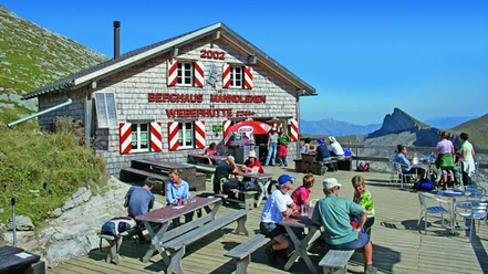
From the Schynige Platte mountain station, follow the signposts directly towards Burglauenen. If you have enough time, you can visit the alpine garden near the train station. Over 650 different plant species can be admired there.
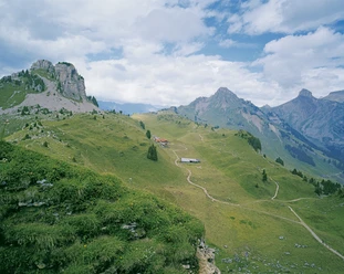
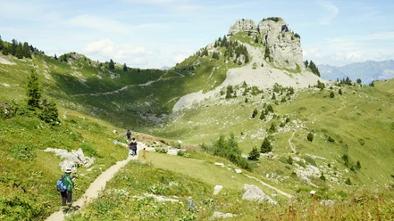
On an alpine road, the path goes downhill to the Alp Ausserläger, where you first reach a hiking trail keeping right. The path continues on an alpine road to the Schwand alpine huts, then a hiking trail leads further over alpine meadows. The path then goes through a forest, where you lose significant altitude on a steep descent. Shortly before Luege, we leave the forest, and a cable-protected traverse takes us along the steep rock faces of Spisblatti to the alpine hut. A short stretch on a road slightly downhill and then the trail continues partly over alpine pastures and partly through forest to the Alp Schärmatta. We cross alpine pastures repeatedly, where cows spend their summer. The final descent is over alpine meadows and lastly on a road to the tiny village of Burglauenen with its small train station. Important: before the train's arrival, a “stop on request” button must be pressed on the platform so the train will definitely stop.

Good to know
Pavements
- Gravel (6%)Path (64%)Trail (27%)Asphalt (3%)
Best to visit
- suitableDepends on weather
Directions
- Schynige Platte – Schwand – Luege/Sengg – Schärmatta - Burglauenen
Equipment
- We recommend the following equipment: sturdy hiking boots, medium-sized backpack with hip belt, sun protection, rainwear, hiking poles, first aid kit, picnic, sufficient fluids, mobile phone.
Directions & Parking facilities
- Public transportation
Arrival: by train via Wilderswil to Schynige Platte
Return: by train from Burglauenen
Additional information
- Association Bernese Hiking Trails, Bern, Tel.: 031 340 01 01, E-mail: info@beww.ch, Homepage: www.bernerwanderwege.ch
Literature
- Hiking book Bernese Oberland of the Bernese Hiking Trails
License (master data)
Safety guidelines
- This route runs entirely or partially on mountain hiking trails.
Map
- Swisstopo hiking map 254T Interlaken 1:50,000