Niederhorn - Rischerental


- 3:00 h
- 7.61 km
- 56 m
- 779 m
- 1,202 m
- 1,950 m
- 748 m
- Start: Niederhorn, Upper Station of the Cable Car
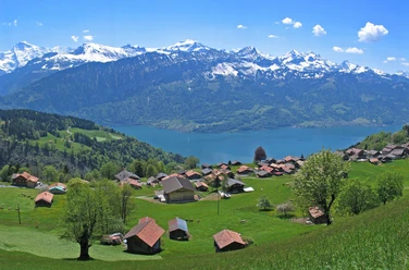
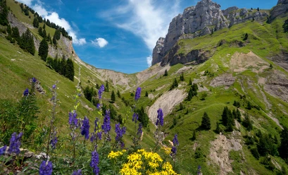
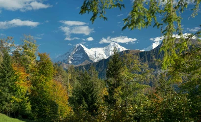
The hike begins on the Niederhorn with a wonderful panoramic view stretching from the Justistal valley across Lake Thun to the magnificent Alpine panorama. The trail follows the ridge, passing green meadows and grazing cows on the way to Oberburgfeld and finally on to Oberberg. Accompanied by breathtaking views of the mountains and Lake Thun, the trail now descends via the Chüematte along the natural stream into the Rischerental.
Want to discover even more hikes?
Learn more about the various hiking options in the Bernese Oberland.

Good to know
Best to visit
- suitableDepends on weather
Directions
- Niederhorn - Oberburgfeld - Oberberg - Chüematte - Rischerental - Waldegg
Additional information
Beatenberg Tourism
Hälteli 400d
3803 Beatenberg
Tel: +41 33 841 18 18
info@beatenberg.ch
www.beatenberg.ch
Niederhornbahn AG
Sahli 66A
3803 Beatenberg
Tel: +41 33 841 08 41
info@niederhorn.ch
www.niederhorn.ch
Interlaken Tourism
Marktgasse 1
3800 Interlaken
Tel.: +41 33 826 53 00
mail@interlakentourism.ch
www.interlaken.chLicense (master data)