Merligen – Wilerwägli


- 2:05 h
- 6.08 km
- 303 m
- 304 m
- 559 m
- 863 m
- 304 m
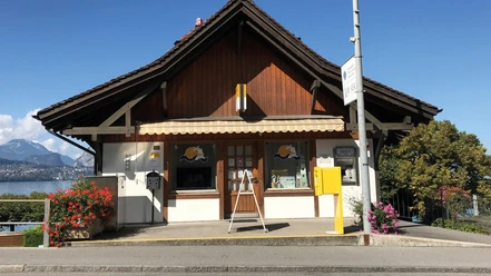
- Start: Merligen, Beatus bus stop
- Destination: Merligen, Beatus bus stop
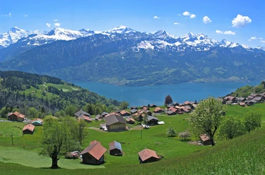
An easy, entertaining circular route from the Merligen, Beatus bus stop. The path leads you along the beautiful Grönbach, past the flood protection project to Hüslimaad and on the Wilerwägli towards Rotbühl. Then you return via Bärenegg to the village of Merligen. Along the way, you can take a comfortable break at the Opeten picnic and barbecue area. By the way, the circular route is also an ideal jogging path for ambitious athletes.

Good to know
Best to visit
- suitableDepends on weather
Directions
Start at the Merligen, Beatus bus stop – along Grönbach – upper Hüslimaad – towards Rotbühl – Rotbühlweg (forest path) - back to the starting point.
Equipment
We recommend sturdy footwear as well as sun and rain protection.
Directions & Parking facilities
- Getting there
By car from Bern via the A6 motorway to Thun Nord, then continue towards Gunten to Merligen (approx. 20 minutes).
ParkingFree parking spaces in the village of Merligen, e.g. opposite Hotel Beatus or directly by the schoolhouse, Mätteliweg, etc. available.
Public transportationFrom Thun with STI bus line 21 to the Merligen, Beatus bus stop.
Additional information
Sigriswil-Gunten Tourism
Info-Center Gunten
Seestrasse 81
3654 Gunten
Tel. +41 33 251 11 46
gunten@thunersee.ch
www.sigriswil-tourismus.chInterlaken Tourism
Marktgasse 1
3800 Interlaken
Tel.: +41 33 826 53 00
mail@interlakentourism.ch
www.interlaken.ch/hikingDo you want to discover even more hikes?
Find out more about the various hiking options in the Bernese Oberland.License (master data)
Author´s Tip / Recommendation of the author
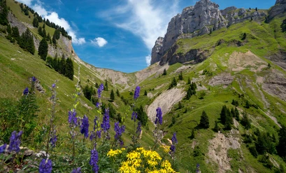
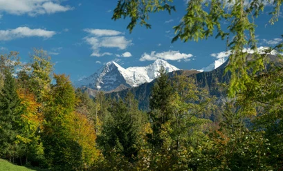
The Wilerwägli takes you through an impressive landscape shaped by Ice Age landslide events.
Safety guidelines
The route mainly follows marked paths of the Bernese Hiking Trails over natural roads and partly over paved surfaces.
Nearby




Download GPX file