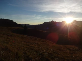
For the sunrise on Augstmatthorn


- 3:00 h
- 6.43 km
- 620 m
- 620 m
- 1,556 m
- 2,136 m
- 580 m
- Start: Lombachalp
- Destination: Lombachalp
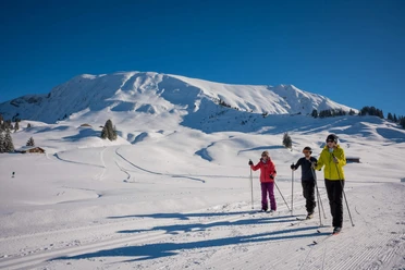
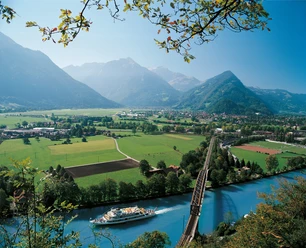
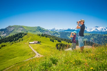
This hike starts at Lombachalp near Habkern. Important: The area is part of a hunting reserve with integral protection regulations; wild camping is expressly prohibited. Therefore, it is advisable either to find accommodation nearby or to drive to Lombachalp by car and start from there. You should start hiking about two hours before sunrise. The trail is signed as taking one hour and 50 minutes. However, the last minutes before the actual sunrise are often the most impressive, so it is worthwhile to reach the summit a little before sunrise. From Lombachalp, the path is well signposted. The hike is steep and leads directly upwards. It is never technically demanding, so it can easily be done at night. After about one hour and 30 minutes, you reach the ridge at point 2101 and can then take a first look at Lake Brienz and the surrounding mountains. To reach Augstmatthorn, turn left and follow the path – the summit always in sight. At the top, early risers are rewarded with a wonderful view of Lake Brienz, the Bernese Alps, and the summit ridge. With some luck, entire ibex colonies enjoy the first morning sun rays.
The return path can be on the same route. However, the descent via the striking Suggiture is worthwhile. At point 2101, continue along the ridge and enjoy a magnificent panorama. A somewhat steeper section follows from Suggiture to point 1878. Here, hiking poles are advantageous. From point 1878, the path leads through the west flank of Augstmatthorn back to Lombachalp.
Please observe the following code of conduct

Good to know
Pavements
Best to visit
Directions
Lombachalp – Augstmatthorn – Suggiture – Lombachalp
Equipment
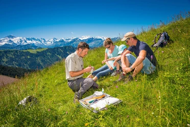
We recommend the following equipment: sturdy mountain boots, medium-sized backpack with hip belt, sun protection, rain gear, hiking poles, first aid kit, picnic, enough fluids, mobile phone.
Directions & Parking facilities
Arrival: By train to Interlaken West and then by post bus to Habkern. From Habkern either on foot or by shuttle bus. Those who want to see the sunrise will find it easiest to travel by car.
Return: The same way back.
Additional information
Bernese Hiking Association, Bern, Tel.: 031 340 01 01, E-mail: info@beww.ch, Homepage: www.bernerwanderwege.ch
License (master data)
Safety guidelines
This route runs entirely or partly on marked trails of the mountain hiking path category.
Map
swisstopo hiking map 1:50 000, 254T Interlaken
Nearby
Download GPX file