- 2:40 h
- 37.95 km
- 804 m
- 804 m
- 564 m
- 760 m
- 196 m
- Start: Interlaken, East Station
- Destination: Interlaken, East Station
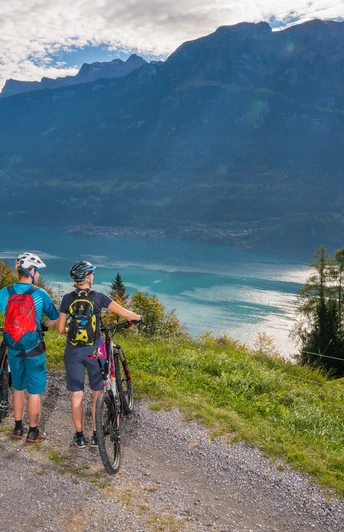
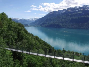
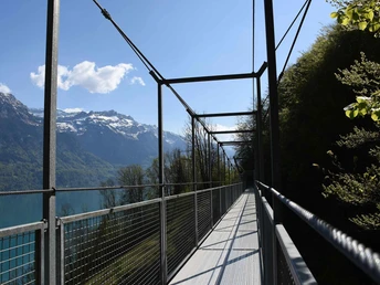
From Interlaken East, the route follows the Aare River to the large railway bridge. After a winding ascent and passing through Ringgenberg, you follow the paved road that snakes up past the quarry. From there, a natural road continues to Niederried. The view over the turquoise blue Lake Brienz is breathtaking. After passing Oberried, you take the next climb towards Ebligen. On the way to Brienz, you cross two suspension bridges. In Brienz, you follow the main road until you branch off towards Giessbach / Axalp. Now follows the most demanding part of the route, namely the steep climb to Giessbach Falls. The roaring waterfalls offer an impressive scenery. Up to Iseltwald, a natural road leads through the idyllic landscape. From Iseltwald, you follow a little-used road along the lakeshore to Bönigen. From there, a gravel path along the Aare leads back to Interlaken East train station.
Good to know
Pavements
Best to visit
Directions
Interlaken - Ringgenberg - Niederried - Oberried - Brienz - Giessbach - Iseltwald - Bönigen - Interlaken
The route can also be ridden in the opposite direction: Interlaken - Bönigen - Iseltwald - Giessbach - Brienz - Oberried - Niederried - Ringgenberg - Interlaken.
Directions & Parking facilities
Additional information
The suspension bridge over the Unterweidligraben (above Ebligen) is dismantled in winter and reinstalled in spring. Check the Oberried municipality website to find out if the suspension bridge is set up again: www.oberried.ch/schnellzugriff/aktuelles
Information on duration, fitness, and technique depends on the type of bike chosen (mountain bike, e-bike, e-mountain bike, touring bike, road bike). These are average guidelines.
Interlaken Tourism
Marktgasse 1
CH-3800 Interlaken
Tel. +41 33 826 53 00
mail@interlakentourism.ch
www.interlaken.ch
License (master data)
Author´s Tip / Recommendation of the author
Nearby
