Trailrunning Wispile (Gstaad)


- 3:15 h
- 13.60 km
- 975 m
- 641 m
- 1,047 m
- 1,917 m
- 870 m
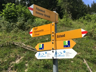
- Start: Gstaad, Wispile valley station
- Destination: Lauenen, Leggerlibrügg stop

Berner Wanderwege
Good to know
Pavements
Path
Trail
Street
Best to visit
suitable
Depends on weather
Directions & Parking facilities
Outbound journey: By train via Zweisimmen to Gstaad. On foot or by post bus (Gsteig) to the valley station of the Wispile cable car.
License (master data)
Author´s Tip / Recommendation of the author
Shortcut possible with the gondola lift (observe timetable)
Map
Swisstopo hiking map 263T Wildstrubel 1:50,000
Nearby
