To the open-air museum at Ballenberg


- 4:00 h
- 14.36 km
- 210 m
- 180 m
- 565 m
- 721 m
- 156 m
- Start: Brienz
- Destination: Meiringen
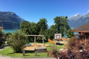
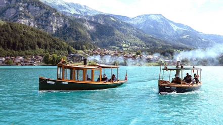
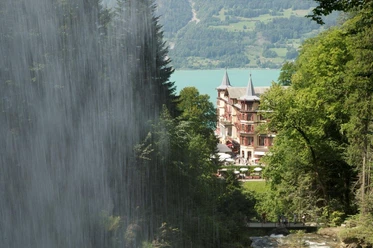
Brienz, the largest settlement on the lake, has developed into an important summer spa resort. Magnificent wooden houses, mild climate, beautiful lakeside gardens, and a beach promenade give the village its own charm. The woodcarving school founded in 1844 and taken over by the canton in 1928, as well as the Swiss violin making school established in 1944, earned the place the nickname "woodcarver and violin maker village." Equally great attractions are the only (at least predominantly) still steam-powered cog railway in Switzerland and the nearby Ballenberg open-air museum.
From Brienz station, you first follow the beach path. At the beach bath, you ascend to the main road and walk along the Lammbach protective dam at the edge of the village of Kienholz. The village was completely destroyed in the 15th and 16th centuries by debris masses washed down by the stream. Another mudslide in 1896 led to the damming of the Lammbach. The path crosses the meadows of Louwenen on level ground, enjoying a wonderful view back to the lake and the flanking mountain ranges.
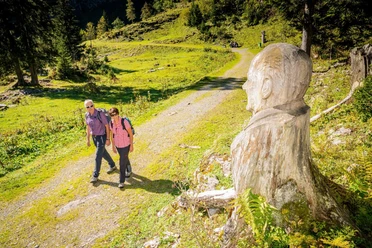
In Hofstetten, follow the road to the large curve (to the west entrance of the Ballenberg open-air museum 5 min). Here, turn uphill. Almost level, a small road now runs through the Riitiholz to Brienzwiler (to the east entrance of the open-air museum 10 min, to Brienzwiler station 20 min). Here you cross the Brünigstrasse and then walk through the stately village with its old building stock. (By the way, the local dialect shows Walser influences.) Over the village stream, go briefly uphill into the forest to Beerihubel and past the Tschingelflue down to Schwendlen. The Oberhasli nature trail leads you to the Junzlen valley plain. Beyond the Aare, the village of Birglen once stood, which still had a smelting furnace in 1416. Village and smelting works had to make way for marshland.
Two variants are offered for continuing the path to Meiringen: along the Hüsenbach (paved) or along the railway line and the Aare.

Good to know
Pavements
Best to visit
Directions
Equipment
Directions & Parking facilities
Arrival: by train to Brienz
Return: from Meiringen by train
Additional information
Literature
Hiking suggestion from the hiking book Jungfrau Region Brienzersee - Oberhasli, hiking book series of the Bernese Hiking Trails
License (master data)
Safety guidelines
This route runs exclusively on marked paths of the hiking trail category.
Map
Swisstopo hiking map 1:50,000 254T Interlaken
Nearby


")