To estates and castles
- 3:10 h
- 10.13 km
- 500 m
- 490 m
- 555 m
- 746 m
- 191 m
- Start: Thun
- Destination: Gunten
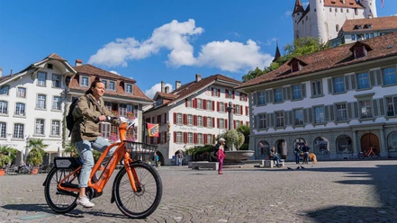
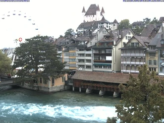
From Thun station towards the old town, cross the two arms of the Aare and follow the Brahms-Quai towards the open lake basin. Opposite the facility is Kleist Island and on the opposite bank of the Aare the ancient Scherzligen Church and Schadau Castle. At the Hünibach ship station, head inland and cross the main road at Chartreuse. In the Middle Ages, the property belonged to the Carthusian monks from Thorberg. Now ascend to the Hünibach bridge and cross it to the forest edge. Here follow a scenic footpath. Slightly lower on a hill is the protected parkland of Eichbühl.
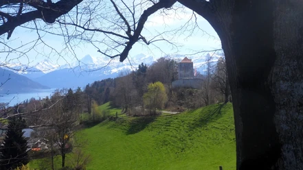
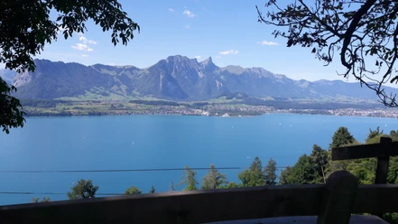
At Hilterfingen/Burech, a beautiful view of the church of Hilterfingen and across the lake to Niesen and Blüemlisalp. On a well-made path, cross the Dorfbachgraben in a wide arc and through a holiday home neighborhood above the village down to Oberhofen/Klösteli. This name refers to a former connection with Interlaken monastery. The monks there were probably also responsible for the vineyards planted at the gates of Oberhofen. Above the vineyard, the path continues to Längenschachen, from where the old Oberländer Path follows the forest edge and, crossing the Örtli forest, leads into Örtli. After crossing the Örtlibachgraben, ascend to the Schönberg rehabilitation center, before the path descends to Gunten.

Good to know
Pavements
- Asphalt (35%)Path (3%)Trail (43%)Street (16%)Gravel (3%)
Best to visit
- suitableDepends on weather
Directions
- Thun - Hilterfingen - Oberhofen - Gunten
Equipment
- We recommend the following equipment: lightweight trekking shoes, light backpack, sun protection, rain jacket, first aid kit, light picnic, sufficient fluids, mobile phone.
Directions & Parking facilities
- Public transportationOutbound: By train to Thun station
Return journey: By bus from Gunten
Additional information
- Association of Bernese Hiking Trails, Bern, Tel.: 031 340 01 01, Email: info@beww.ch, Homepage: www.bernerwanderwege.ch
Literature
- Hiking suggestion from the hiking book Lake Thun - Frutigland, hiking book series of the Bernese hiking trails
License (master data)
Safety guidelines
- This route runs entirely on hiking trails.
Map
Swisstopo hiking map 1:50,000 253T Gantrisch