Magnificent glacier panorama

- 3:10 h
- 5.19 km
- 588 m
- 588 m
- 1,360 m
- 1,734 m
- 374 m
- Start: Grindelwald/Pfingstegg
- Destination: Grindelwald/Bäregg
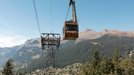
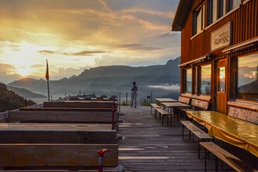
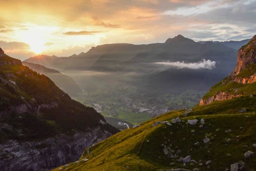
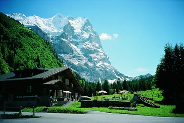
With the Pfingstegg aerial cableway, you quickly reach the starting point of the hike, Pfingstegg. From the mountain station, the path leads straight through light mountain forest at first. At Wysseflüö it begins to climb. Along the flank of the Mättenberg, the path enters the notch created by the Lower Grindelwald Glacier. There is not much left today of the glacier tongue that once almost reached the village. Instead, the Lower Fiescher Glacier comes increasingly into view. With every step, the horizon widens. In the depth of the valley basin, under wild debris, lie the glacier’s ice fields. Though the scene is forbidding, it exerts a powerful fascination on the eye of the local. This spectacular valley floor resembles lava that suddenly froze to ice during boiling. Above, the ice and rock giants of the Bernese Alps tower. Especially impressive is the mighty Fiescher Glacier. On a rocky ridge on the steep grassy slope lies the Bäregg restaurant. This replaces the old Stieregg inn lower down near the glacier, which had to be abandoned in summer 2005 after a rockfall.
The path leading from Bäregg further to the Schreckhorn Hut is reserved exclusively for alpinists and is therefore not marked as a mountain trail. The same way leads back to Pfingstegg. A summer toboggan run there brings much joyful noise. This is on one hand a strange contrast to the remoteness and silence just before at Bäregg; on the other hand, children (and also young-at-heart adults) find a cheerful conclusion to an otherwise very rewarding hike.

Good to know
Pavements
- Path (100%)
Best to visit
- suitableDepends on weather
Directions
- Grindelwald/Pfingstegg - Bäregg - Pfingstegg
Equipment
- We recommend the following equipment: sturdy mountain boots, medium-sized backpack with hip belt, sun protection, rainwear, hiking poles, first aid kit, picnic, sufficient fluids.
Additional information
- Berner Hiking Association, Bern, Tel.: 031 340 01 01, E-Mail: info@beww.ch, Homepage: www.bernerwanderwege.ch
License (master data)
Safety guidelines
- This route runs wholly or partially on mountain trails.
Map
- Swisstopo hiking map 1:50'000 254T Interlaken
Nearby
Download GPX file