- 7:28 h
- 25.97 km
- 466 m
- 475 m
- 558 m
- 726 m
- 168 m
- Start: Interlaken West train station
- Destination: Thun train station
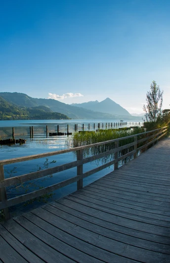
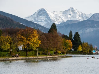
The route leads downstream from Interlaken West train station to the Weissenau ruins, further through the Weissenau Nature Reserve to Neuhaus. The short climb to Sundlauenen is worth it for the beautiful view over Lake Thun. Above the main road, the path mostly goes through forest over roots and stones through the villages Merligen and Oberhofen to the town of Thun.
Looking for more hiking tips in the Bernese Oberland?
Learn more about the various hiking opportunities around Lake Thun and Lake Brienz.
Good to know
Pavements
Best to visit
Directions
Directions & Parking facilities
Additional information
Interlaken Tourism
Marktgasse 1
3800 Interlaken
Tel.: +41 33 826 53 00
mail@interlakentourism.ch
www.interlaken.ch
License (master data)
Author´s Tip / Recommendation of the author
- Parts of the hike can be replaced with a short boat trip on Lake Thun: www.bls.ch/schiff
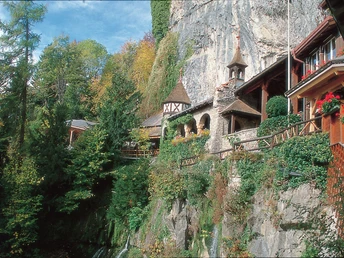
- On the way are the Beatus Caves: https://www.beatushoehlen.swiss/
- A visit to Oberhofen Castle: https://www.schlossoberhofen.ch/
Nearby
